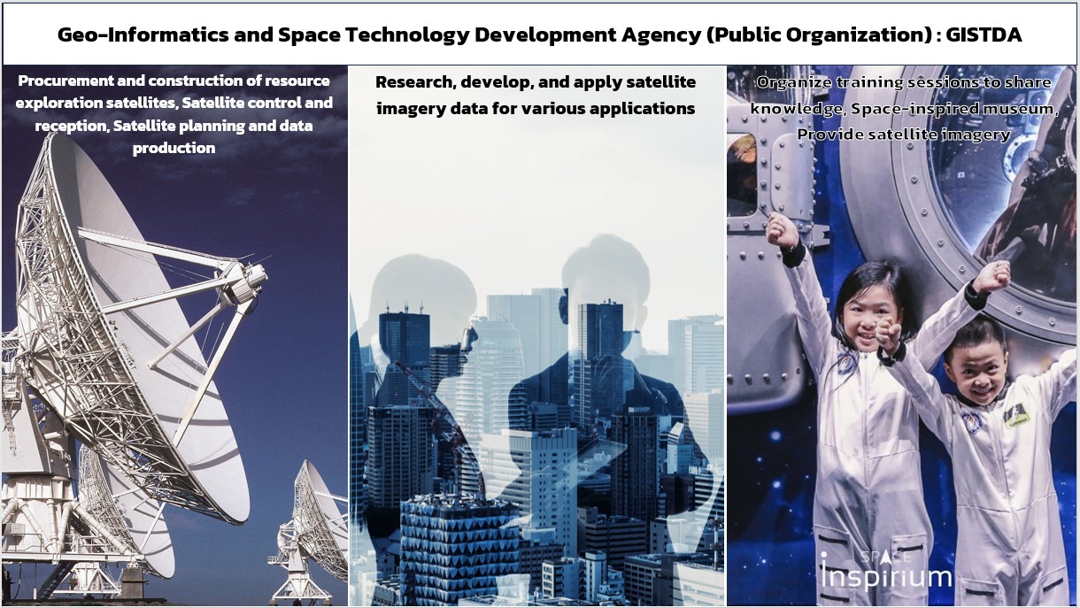
What is GISTDA?
GISTDA is Thailand’s national space and geoinformatics agency, responsible for developing and applying satellite technology, remote sensing, and geospatial information systems (GIS) to support national development
Its key missions include:
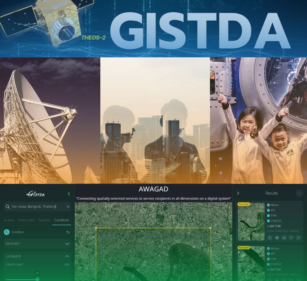
⍟Developing and operating satellites (such as THEOS-1 and THEOS-2) for Earth observation.
⍟ Providing satellite data services for agriculture, urban planning, disaster management, and environmental monitoring.
⍟ Promoting innovation and research in space technology and geoinformatics.
⍟ Supporting data-driven decision-making for both government and private sectors.
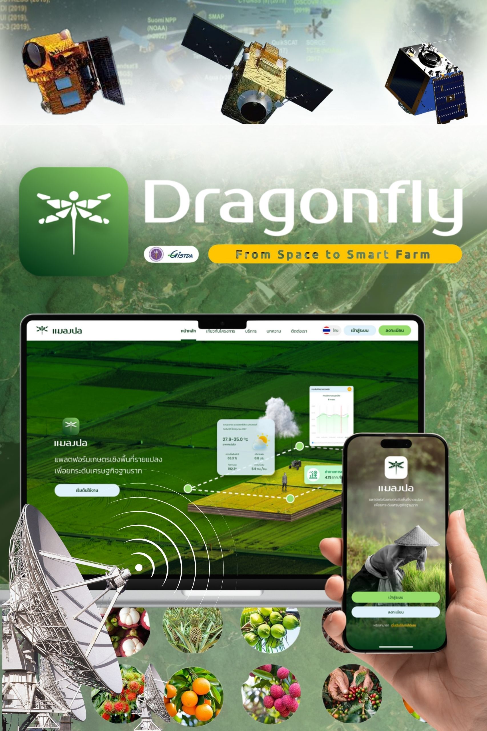
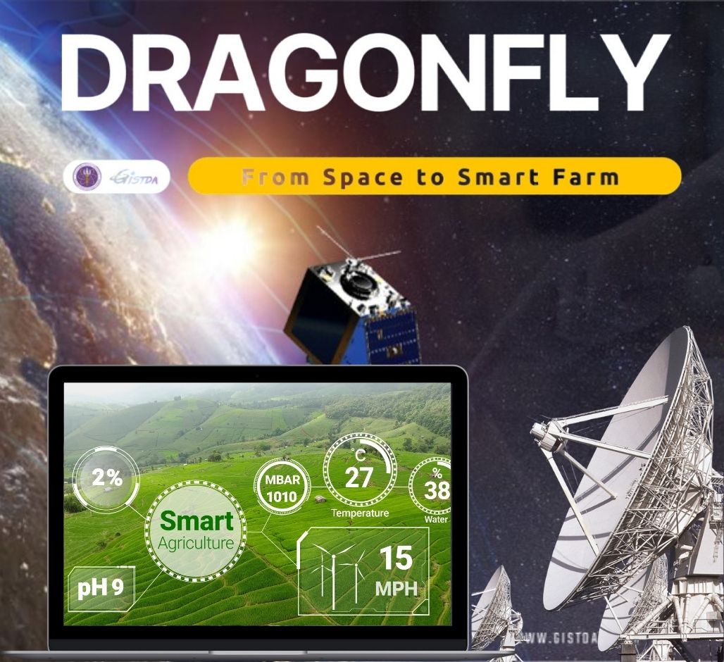
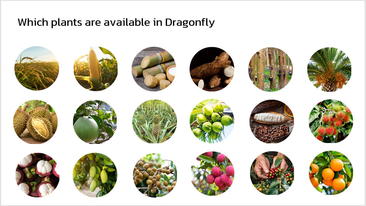
In Agriculture
GISTDA uses satellite imagery and data analytics to help farmers monitor crop conditions, forecast yields, and optimize resources — one example being the “Dragonfly” application, which provides precision farming insights to enhance productivity and sustainability